Built around your farm.
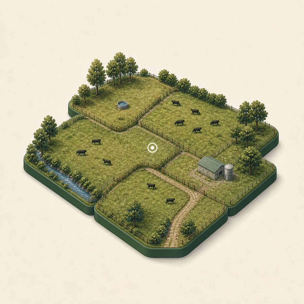
Bring together the paddocks, mobs, records and tools that matter on your place.
AgRhythm connects pasture, paddocks, mobs, imagery, tasks, assets and farm history in one useful working picture.
Founding farm offerYour first three months for NZ$99↗Bring together the paddocks, mobs, records and tools that matter on your place.
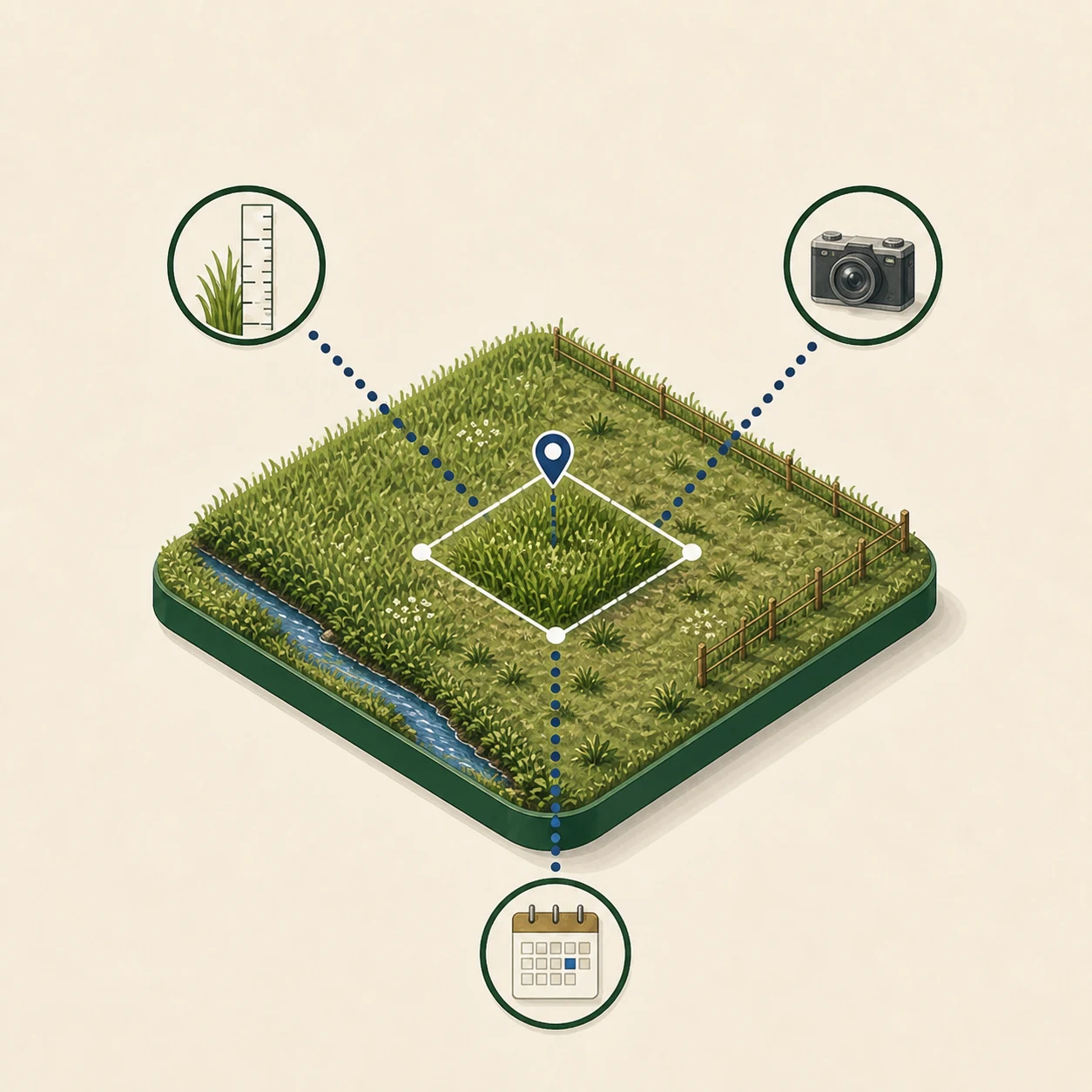
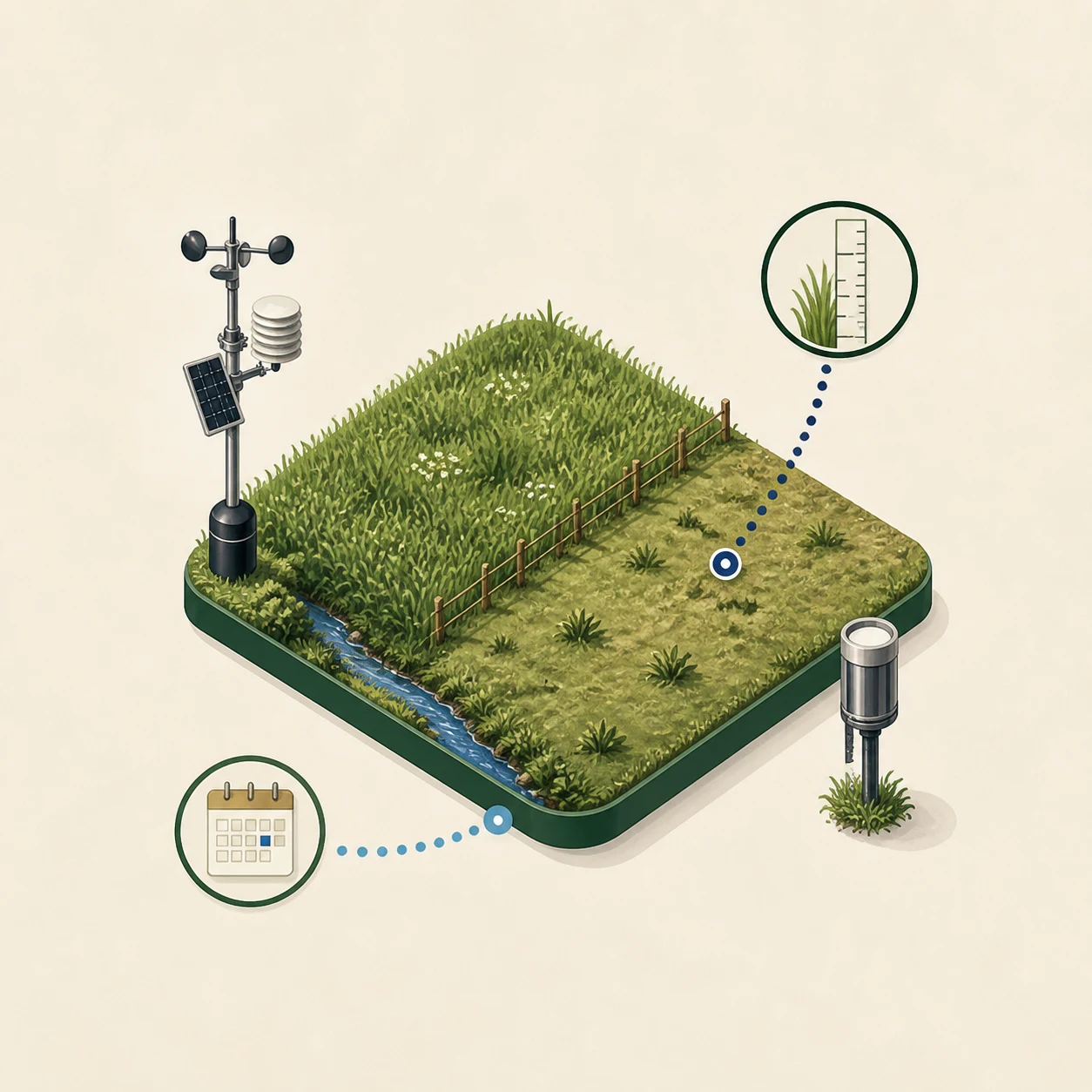
Keep readings, imagery, place and time connected so the result stays grounded.
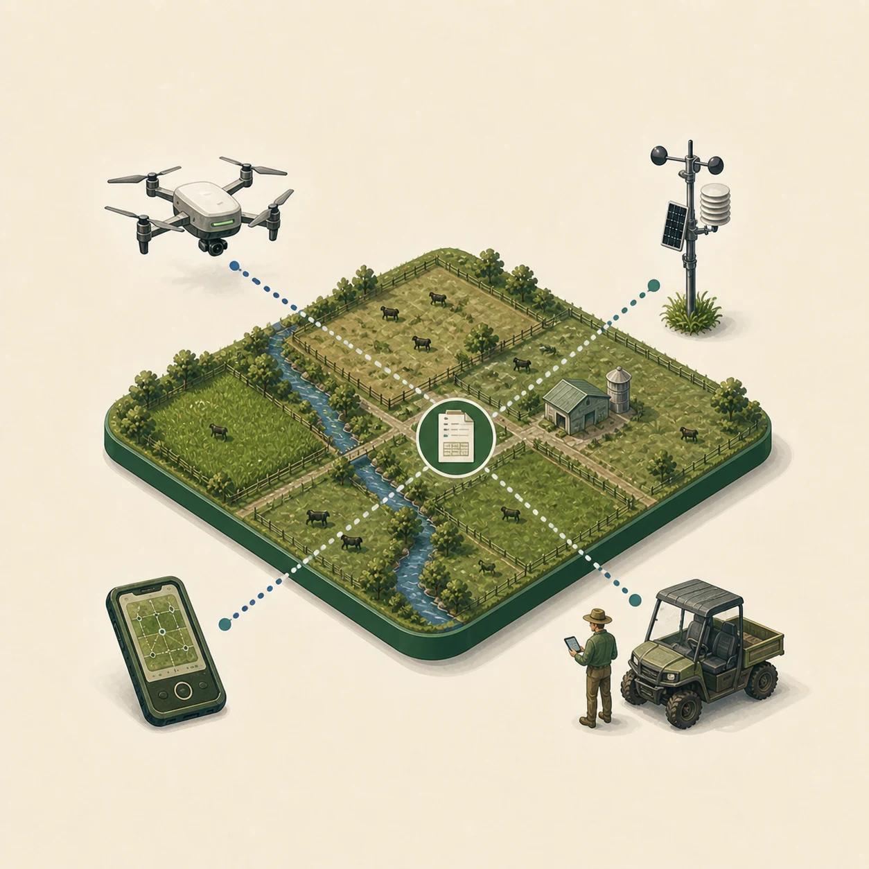
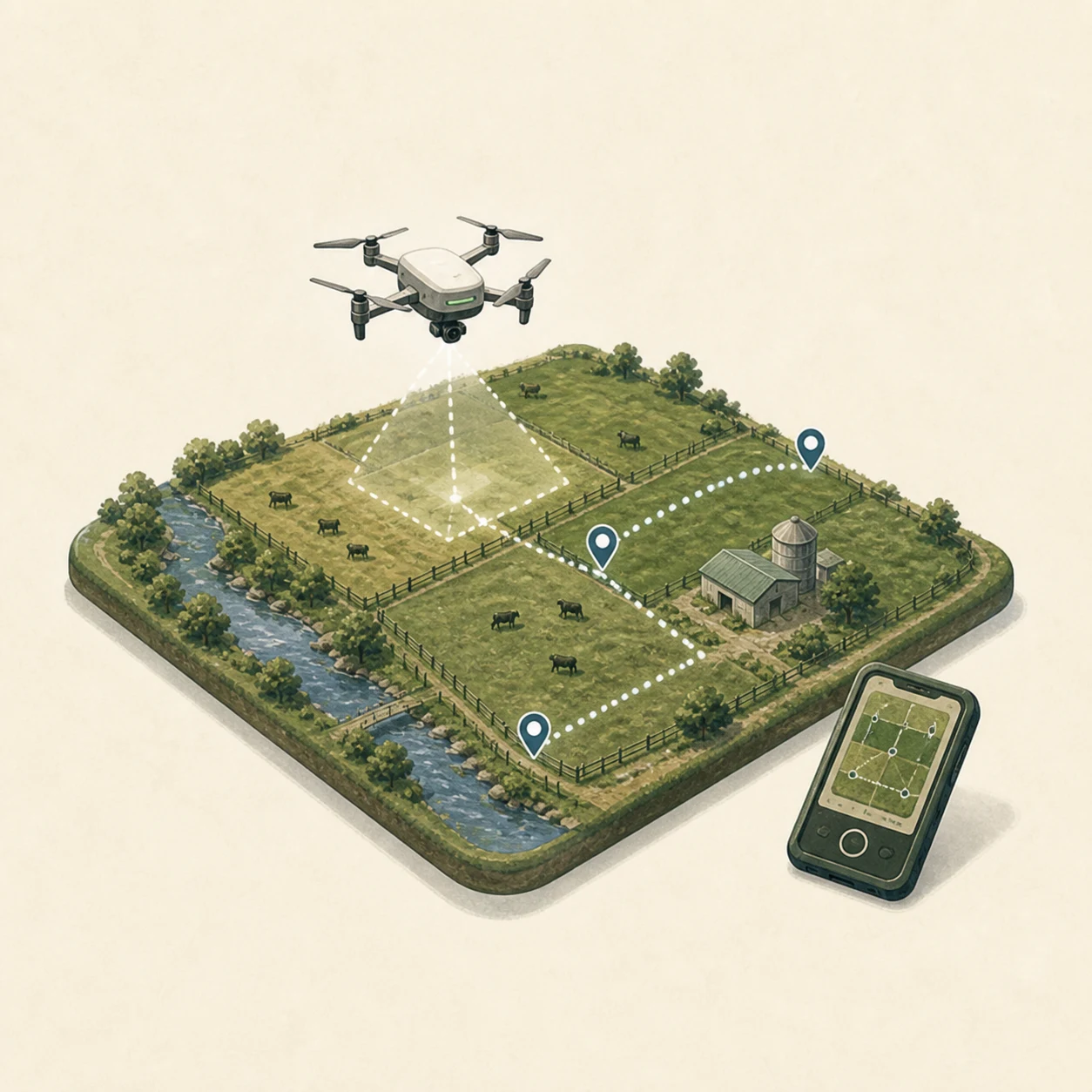
Use your own drone, work with an operator and add other farm information over time.
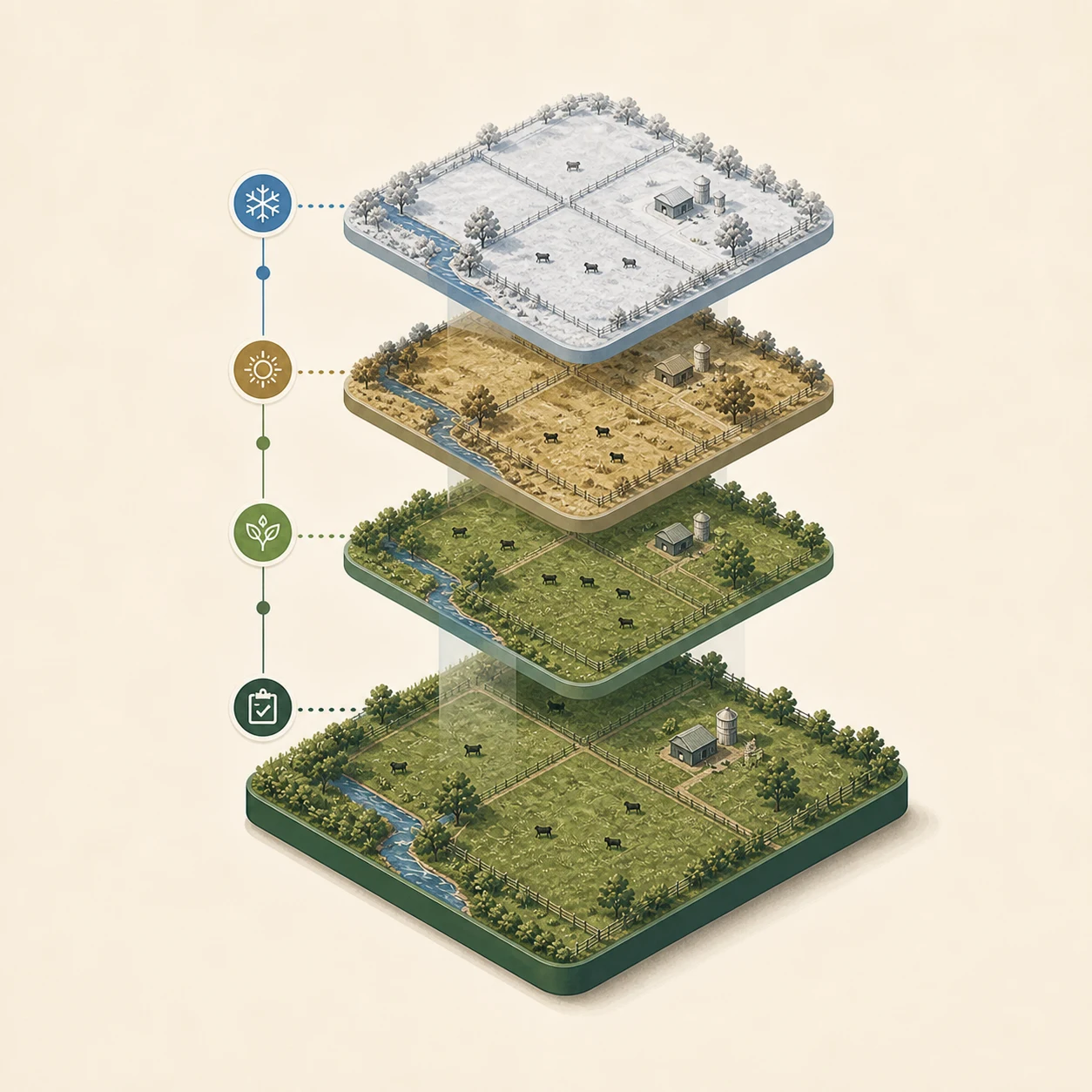
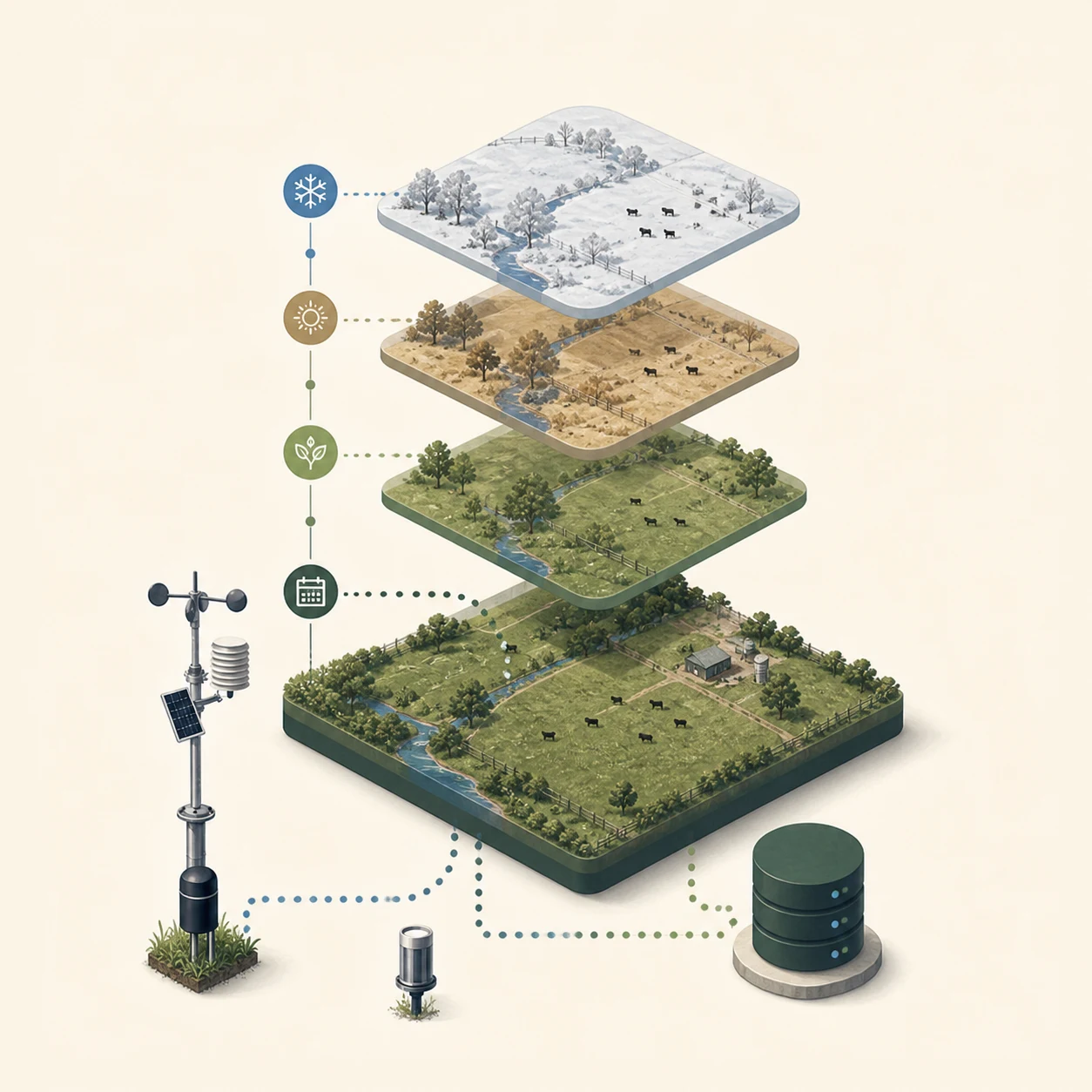
Keep observations, decisions and change together as useful farm history.
See what is happening. Understand it in context. Make the next move. Keep the history.
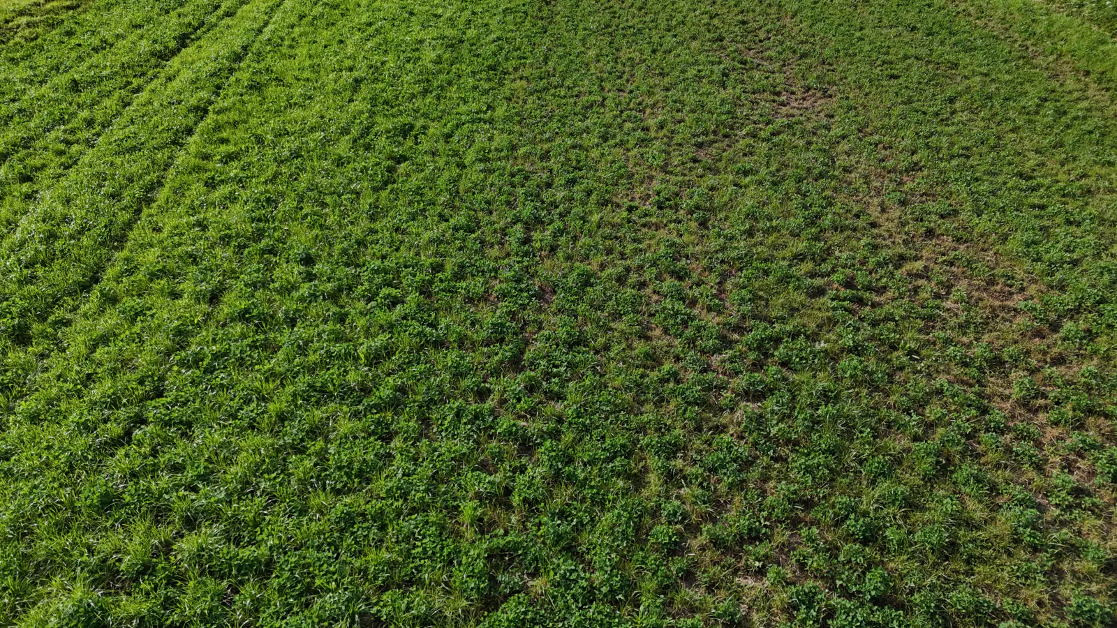
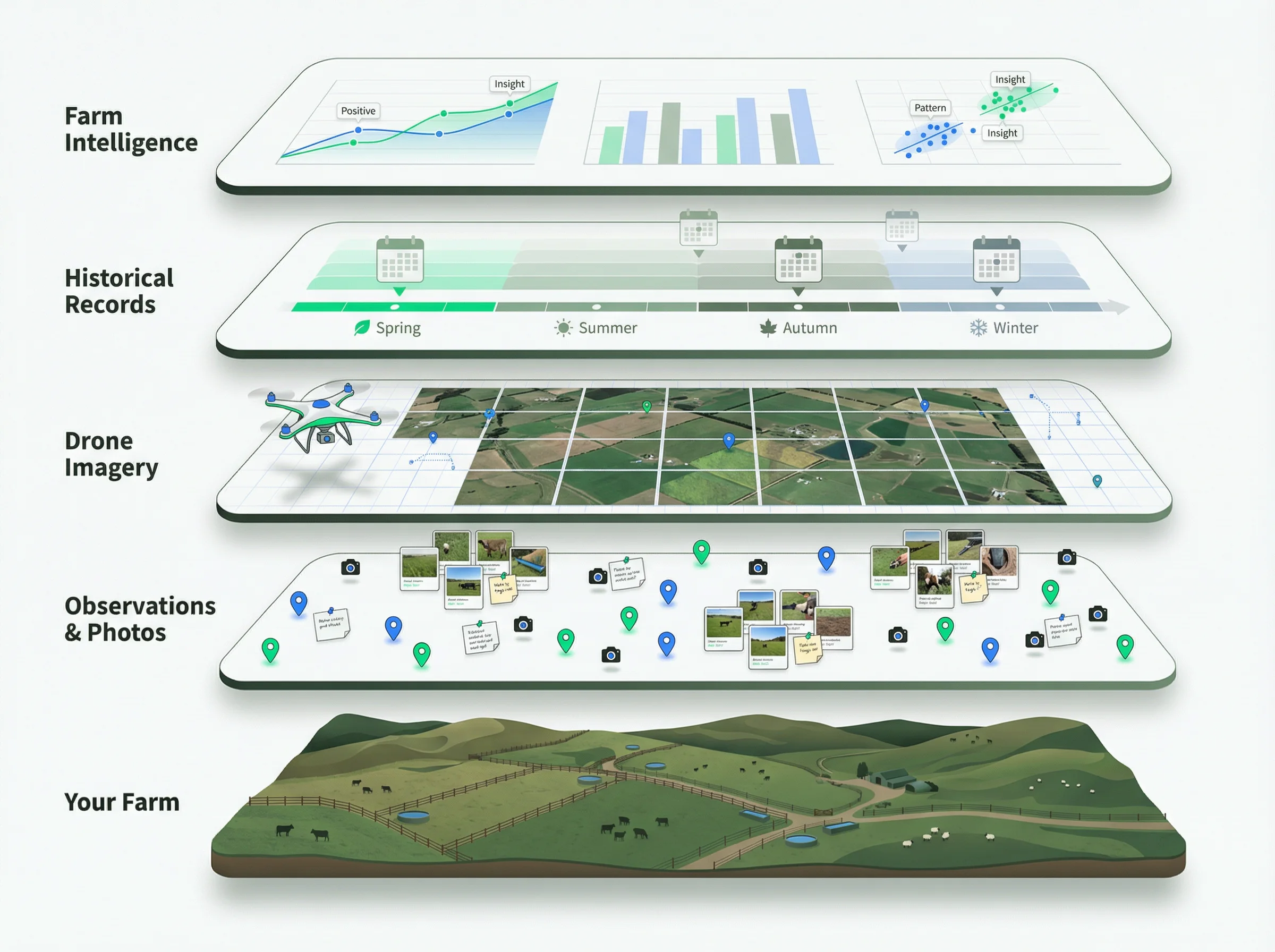
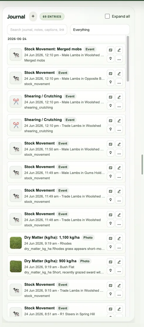
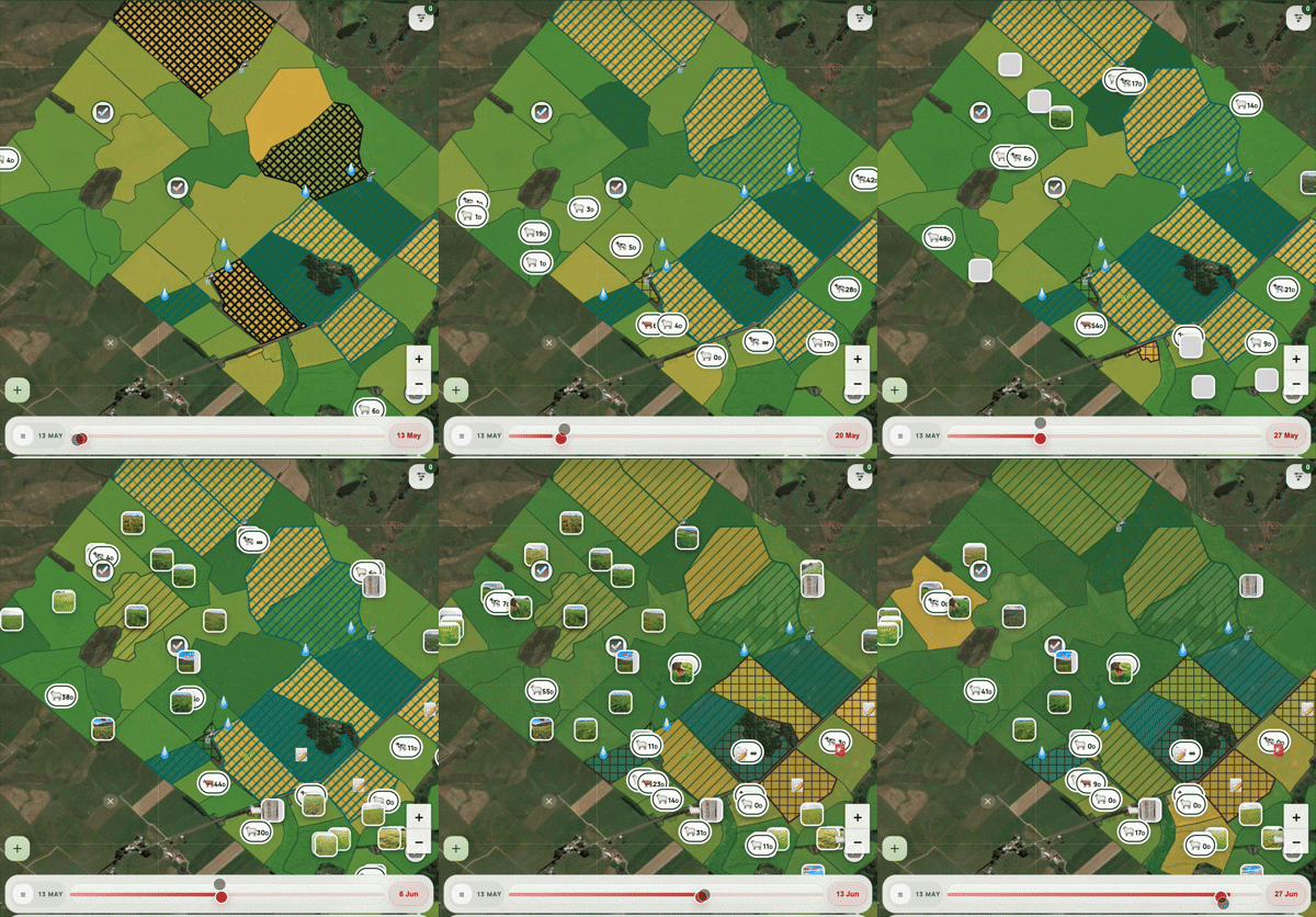
AgRhythm keeps paddocks, mobs, pasture, photos, tasks, assets and history connected, so new tools can add to the picture without starting the farm record again.
Talk with the team, explore the fit and use AgRhythm for your first three months for NZ$99.
See how pasture intelligence, drone capture and a future-ready farm record become part of the same working picture.